Artificial Generation of Planet Topography
Canadian undergraduates in physics are able to attend an undergraduate conference called the Canadian Undergraduate Physics Conference (imaginatively enough). This conference is organized every year by a host university. I was able to attend the conference in the years 1997, 1998 and 1999. A large part of the conference consists of presentations made by the attending students based on research they have conducted. During the conference in 1998, a fellow student and I presented computer programs which modeled planet surfaces using Brownian motion.
The Algorithm
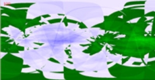
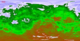
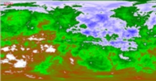
The basic idea behind this concept very simple. Given a spherical surface, one can divide the circle into two halves with a randomly oriented cut. The height of the two halves are then displaced from one another an amount given by a Gaussian distribution around some mean value. This displacement represents the height of a mountain range or the depth of the ocean floor. One can repeat this process for another random cut, and a different displacement, with the same distribution around the same mean. After a few iterations the results shown below (as a flat geographical map) begin to emerge.

5 iterations

100 iterations

500 iterations

1000 iterations
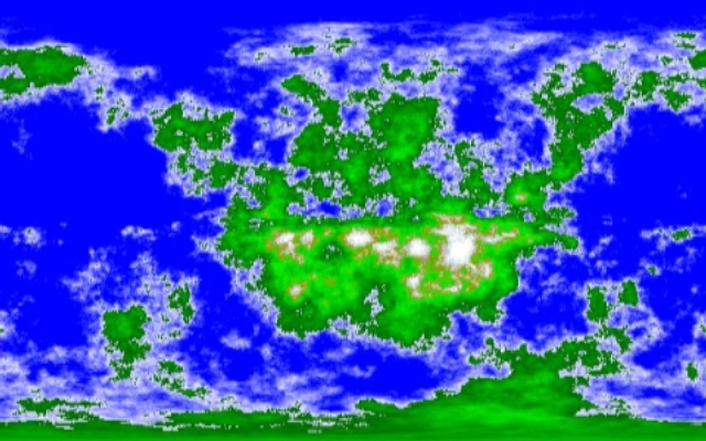
After ten-to-twenty thousand iterations you'll get something that looks somewhat like this:

So You'd Like to Learn More (good for you! learning can be fun)
Here is an interactive demonstration of the above process where you can create your very own fractal earth. Be warned, the Java applets on the page may take some time to load.

