
|

|
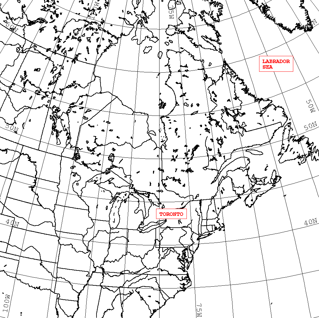
The following images are the visualization of the remotely sensed surface
temperature and cloud cover data for Toronto
and Labrador Sea areas. The data
are collected from the
Advanced High Resolution Radiometer (AVHRR) carried
aboad the NOAA polar orbiting satellites. The collection and processing of
remotely sensed data are performed using TeraScan system.
|
|
|
For more information regarding these images please contact Nikolai Potylitsine: nick@atmosp.physics.utoronto.ca.
Last update: